Day 3/19 (2023 Summer Biketrip)

Intro: in the summer of 2023 I did a 1.614 km (1.000 miles) long biketour in Denmark and a bit of Sweden. I wanted to ride on a couple of old railroad-tracks, now converted into bike trails.
It took me 19 days in the sadle and it was a great adventure !
Saturday 8th of July 2023 (3:19)
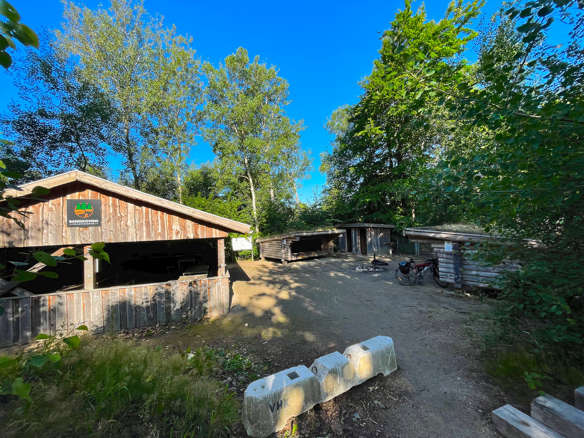
I started at 8.35 am from the Shelter at FDF in Aars (Baneskovens Friluftscenter).
Yesterday i rode my bike from Løgstør to Aars, which was the first 15.5 miles (25 km) out of the total of 49 miles (79 km) of the beautiful “Himmerlandsstien”, that travels from Løgstør down south to Viborg.
I continued on the same route downwards to Viborg. A very nice city I also visited the year before (in 2022) when I biked the Hærvejen and the westcoastroute.
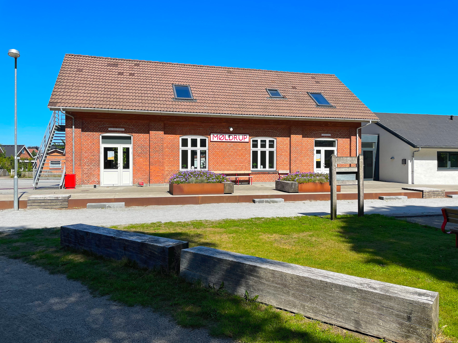
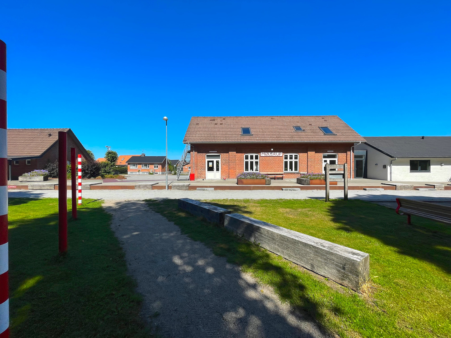
Around lunchtime I stopped on the route when I came to one of the old train stations that have been preserved. It was named ‘Møldrup st.’ There where an green opening with with some table bench sets and the old station also had a toilet. That combined with coffee and good weather, made this place a very nice spot for me to take a lunchbreak.
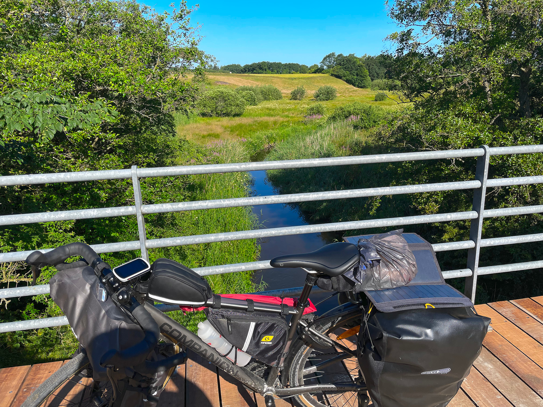
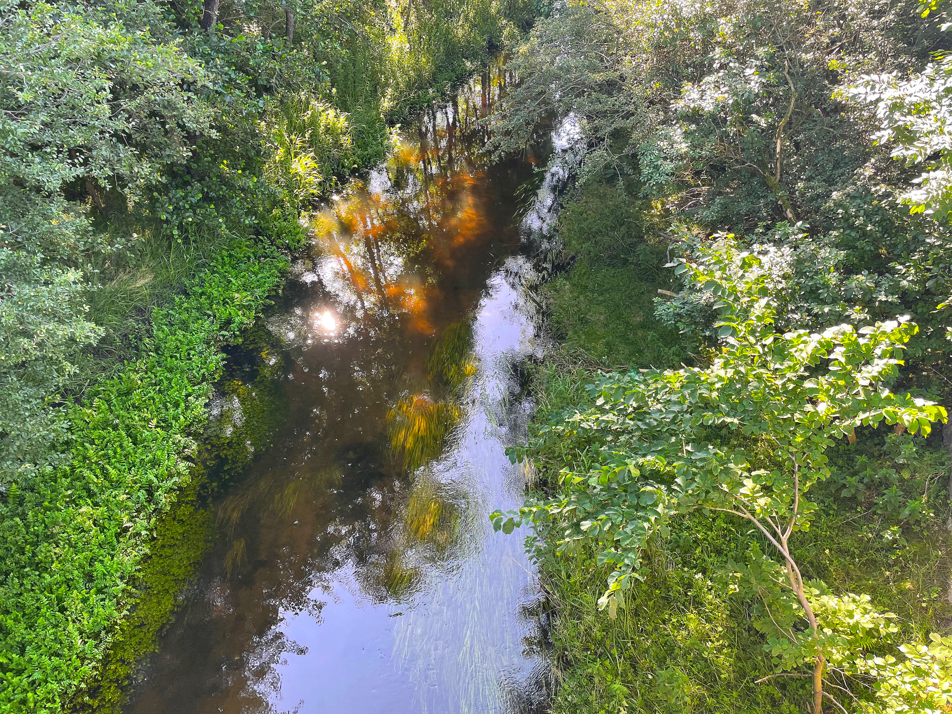
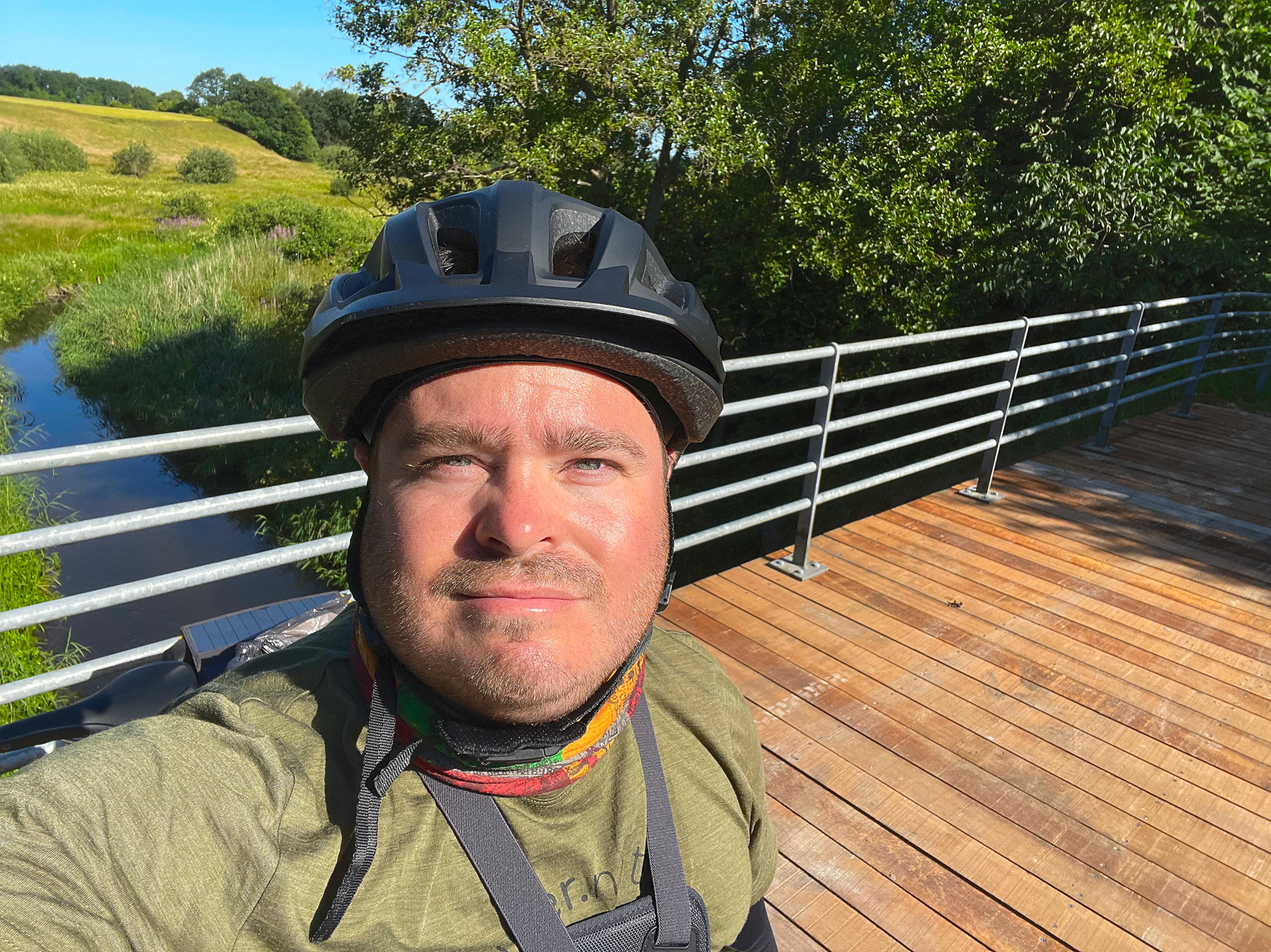
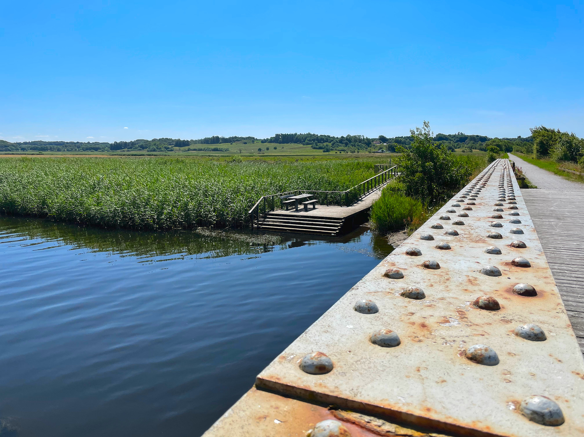
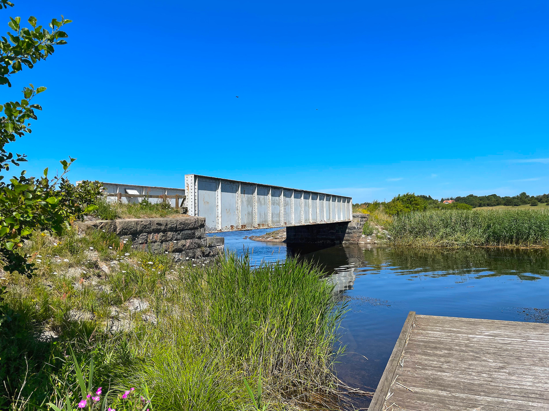
Just shortly after my break had ended, I just had to stop at this cosy little bridge at ‘Skals Å’. It just felt like a very calm and idyllic place to be at. And there was a table bench set placed at a river deck. So I sat down a few minutes here also and shot some photos and a short video (listed below). There was quite a few different species of birds around here also.
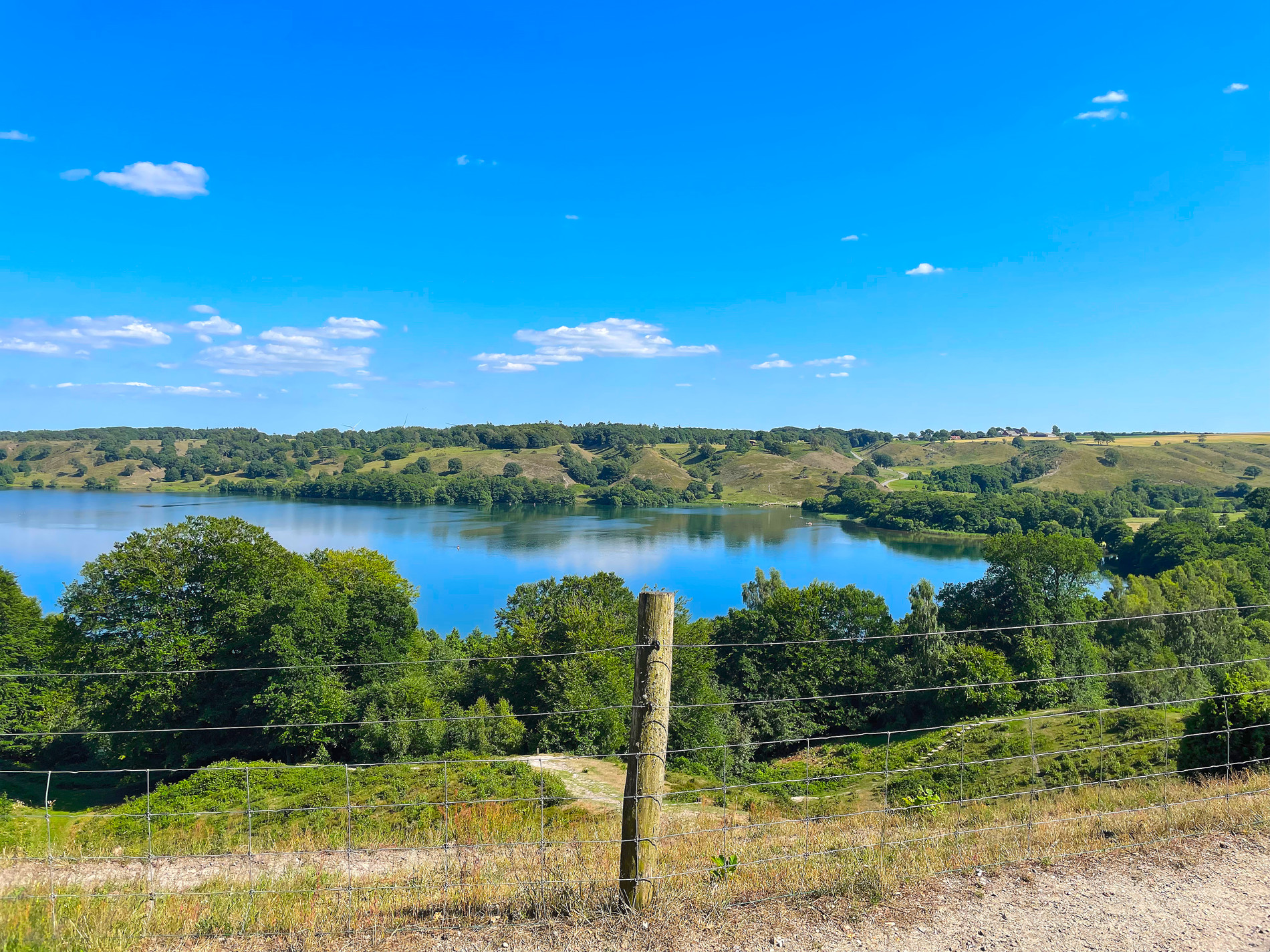
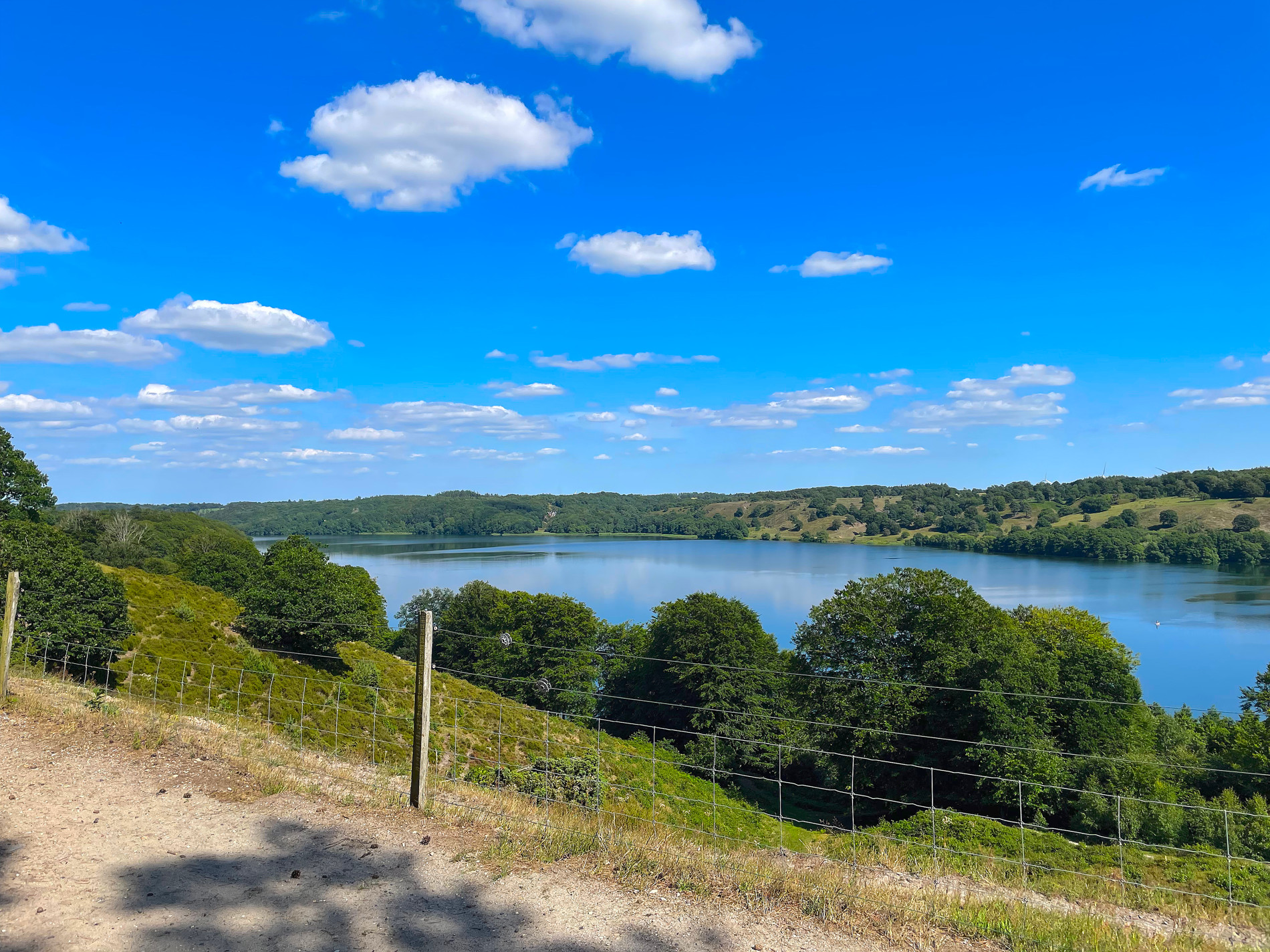
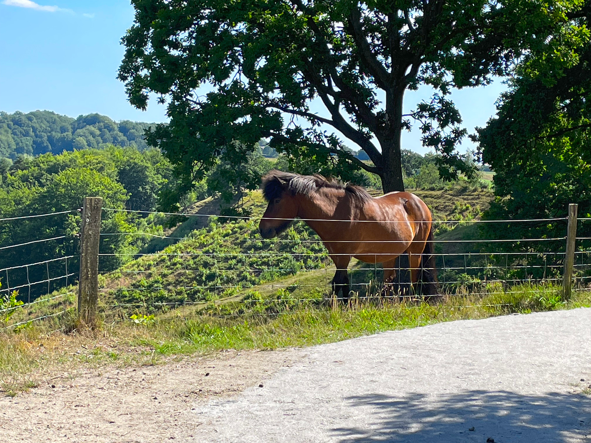
I came by a pretty nature area named ‘Dollerup Bakker‘, These hills overlooks the lake named ‘Hal Sø’ which is one of the deepest in Denmark (31 meters). I could se a lot of people down on the other side of the shore swimming and having a blast. Up here there where also a small ice cream shop busy selling to all the tourist that where here – looked like a good business.
I rode through Viborg Station from west to east, and I instantly recognized that this was the place Erik and I had some difficulties navigating through last year. Last year I came from the North going down, and at the hospital the signs where not that well placed, making it hard to navigate the route. The route was doing a 90 degree left and hiding behind a hedge. But this year I was already riding parallel to this hedge and had the train rails on my right side. It was great fun for me to se this place from another angle. I could easily se what vent wrong last year.
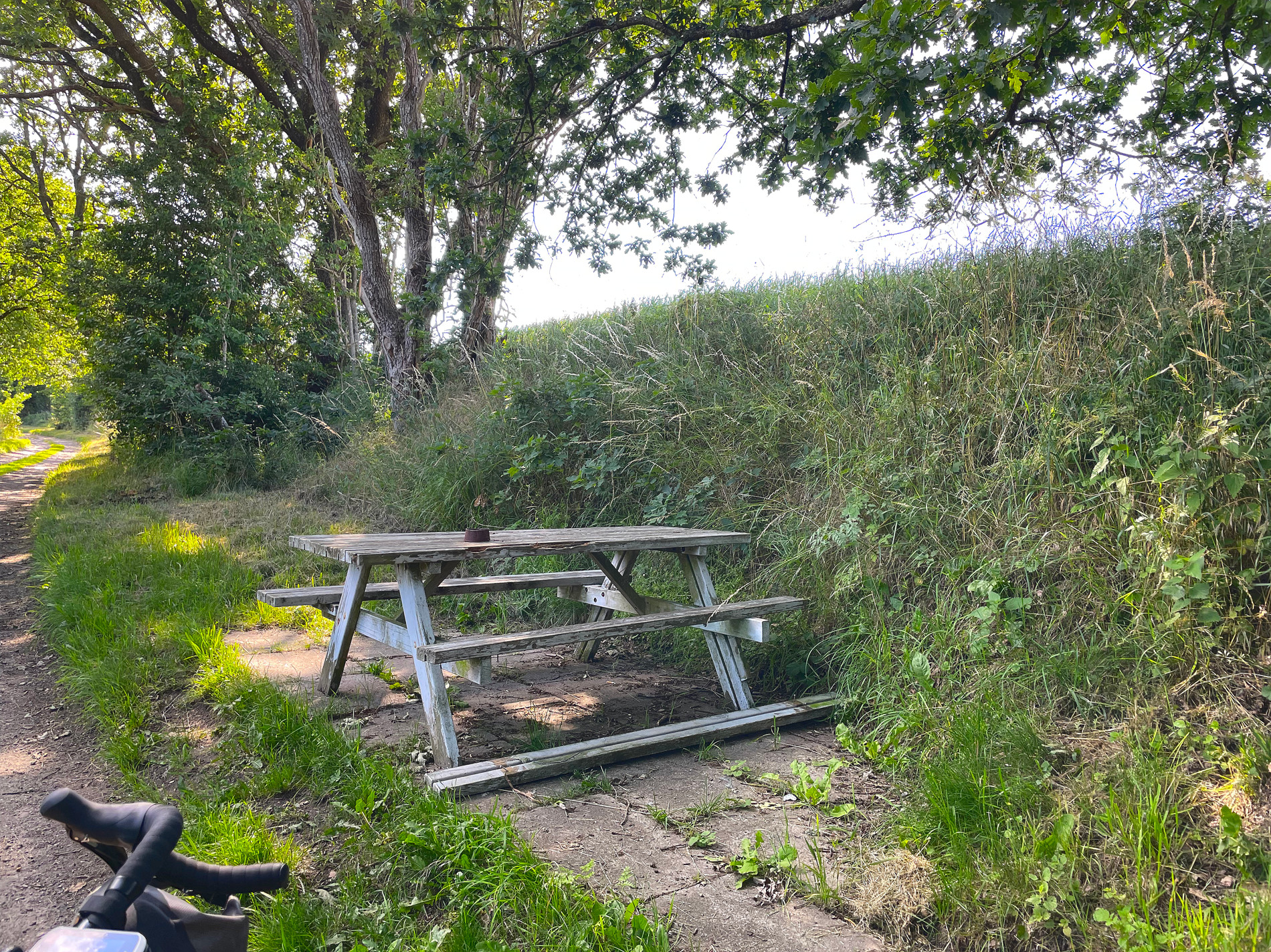
Not that long after, at SE of Viborg, I was riding in some forrest/field area I came by a table bench set I also remembered from last year (2022). I was having a snack break there while I was waiting for Erik. The table bench set must have had a rough year, it was a bit messed up now. But it was very nice to se that thing again.
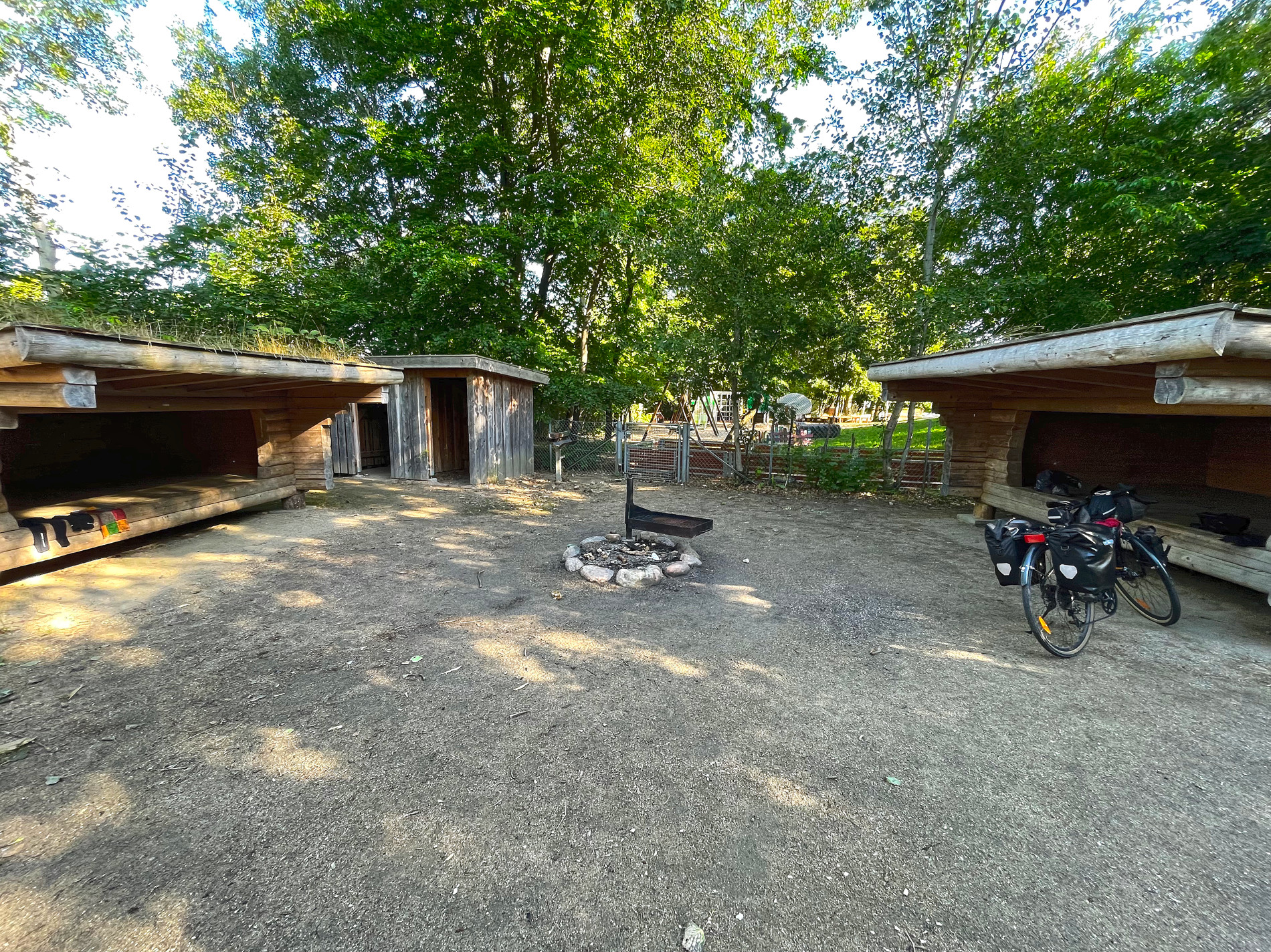
I arrived to a big Shelter spot in Stendal Plantage, a part of Alheden Skov located 9 km east of Karup, where Karup Flyvestation lies. This is Denmarks biggest military workplace, with around 3.500 people working there.
There were already a big group of 2-3 families with small children camping here. They had reserved all of the shelters, but the last one I could have because they didn’t needed it. It was nice of them but I turned it down, I would prefer to get some distance from the group – their children was kinda loud.
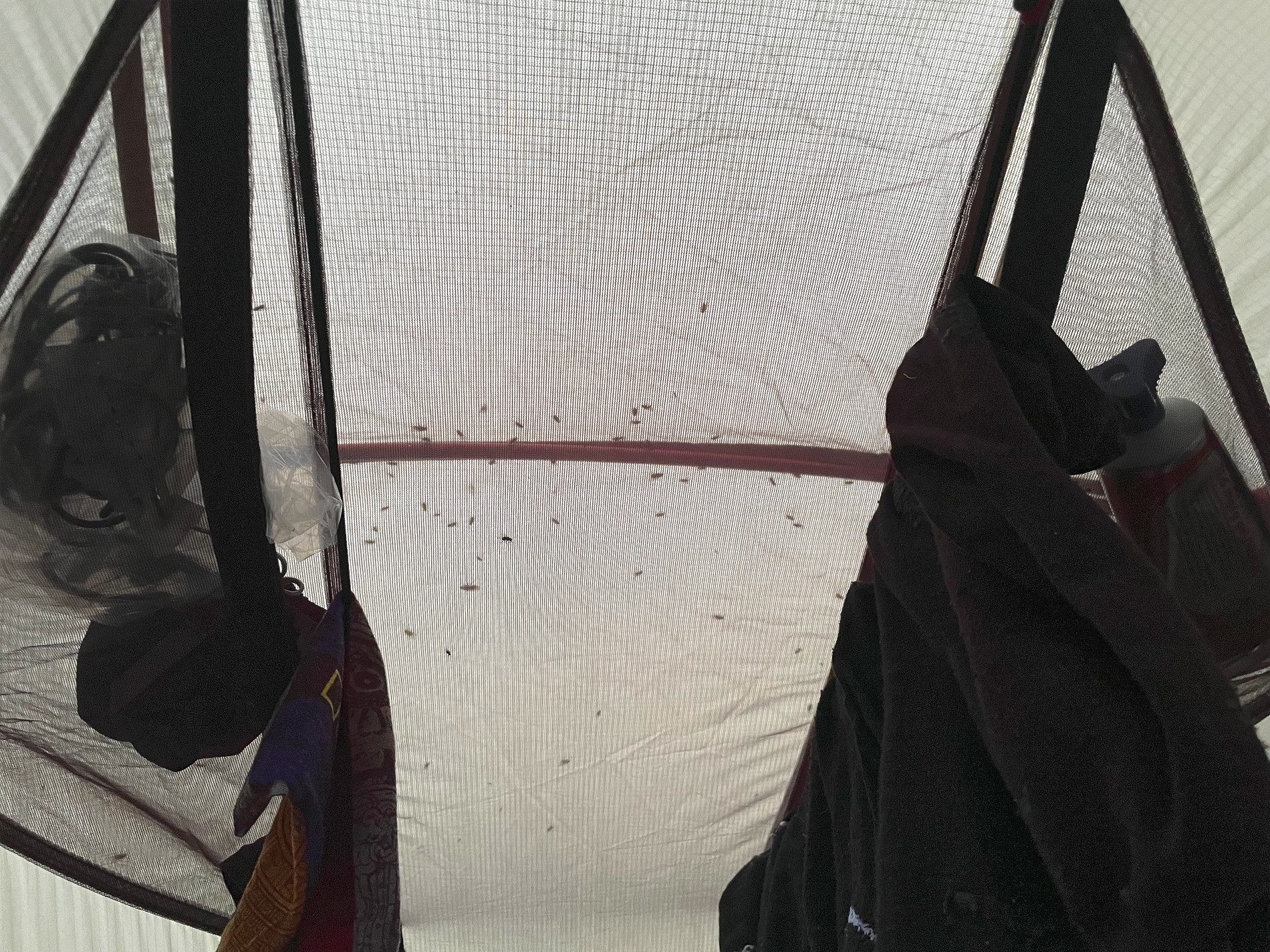
But there was an extra single shelter near by, that didn’t require reservation. It was located inside among some trees that gave the place some shade. There were an insane amount of mosquitoes all over this shelter, and the group of families had light up a fireplace to get rid of them. But that didn’t helped med – so I choose to quickly set up my tent and get to safety from those mosquitoes and flies. Sadly I was stung many many times before I got into safety. Maybe I’ll show a picture of the stings tomorrow.
Travel info
| Imperial | Metric | |
|---|---|---|
| Start time | 8.38 am | 08.38 |
| Arriving time | 6.00 pm | 18.00 |
| Time (moving) | 5:06:56 | (h:mm:ss) |
| Distance | 46.7 miles | 75,21 km |
| Speed (avg. / max.) | 9.2 / 21.4 mp/h | 14,8 / 34,4 km/h |
| Elevation (gain / loss) | 1141.7 / 1151.6 feet | 348 / 351 meters |
| Height (min. / max.) | +3.3 / +262.5 feet | +1 / +80 meters |
| Temp. (low. / avg. / high.) | 62.6 / 78.8 / 87.8℉ | 17 / 26 / 31℃ |
| Calories burned | 2.171 | |
| Camp site | Shelter Stenby Plantage | |
| Battery left (gps) | 70% | |
Images